

East MacDonnell Ranges
20 May 2012
May 12th.
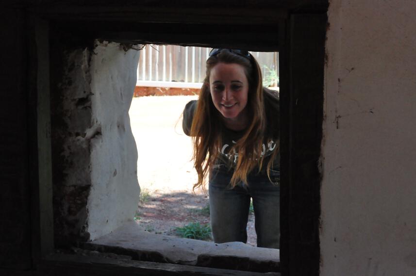
Bad night, but we must get up early as Claire has an appointment in town. After which we fill up the fridge, and make our way to the East Macdonnell Ranges, the other side of this massive range.
First two stops aren’t worth much, Emily and Jessie Gap, still it’s a different scenery all together. Where the West Macs were abrupt cliffs and deep gorges and reefs as if they had been cut with a knife, the East Macs seem to be a lot greener, a lot friendlier.
We bushcamp a bit further on the Binns Track, near the riverbed and a hundred cows. It’s a blessing to be back in the bush, after these loud nights at the caravan park. Aaah the view, the sunset, the peace and quiet, nothing but the sound of wildlife and the light of the milky way to disturb your sleep.
Distance today: 118km, total: 16685km.
May 13th.
The Binns Track leads us to N’Dalah Gorge, which has some very old (some more than ten thousand years) petroglyphs. The engravings are still in a great condition, all things considered, and you can imagine local tribesmen living in these parts, marking the rocks with their primitive yet abstract and somewhat sophisticated art forms.

From N’Dalah Gorge, it’s a few kilometres to Arltunga. It’s an old mining town, which opened around 1870 and closed its last mine in the mid-1950ies. It’s supposedly the first mining town in Australia’s goldrush, which would last for over a century. They were mining for gold but had little water to separate gold from quartz so they used their imagination to get rich, using airblowers and later chemistry. You can just imagine the harsh condition they had to live in in these arid places. No water meant no vegetables, or even no food for cattle, so everything had to be carted from Alice Springs, by camels. Amazing what people can endure for a few ounces of gold…
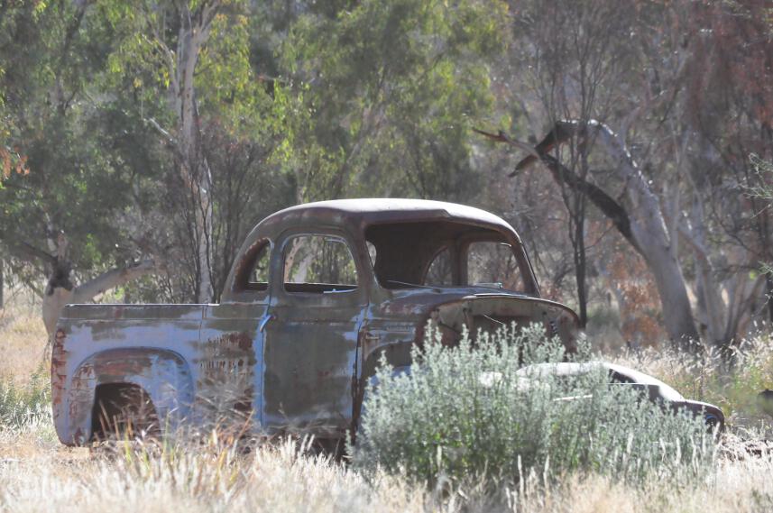
There are no indications though, at the visitor’s centre, which by the way is as empty as the old town itself. No staff, not a sound, just opened doors and a couple of displays. It’s hard to find the actual information about what’s what but eventually, we figure out the rudimentary map and get to the mine pit. It’s not very big, but it gives a good idea about the work conditions of these guys. Crawling through a dusty tunnel no bigger than a meter in diameter is pure madness. All that for a couple of bucks.
We get back to the campsite and go first to the “hotel”, again, empty. We feel like we’re in a ghost town. An hour later, after we’ve pitched our tent and waited for ghosts to haunt the place, the owner greets us. He’s American and looks as old as the mining town itself. Now that I think of it, he looks like he could be the last minor here… Or was he a ghost?
Distance today: 76km, total: 16761km.
May 14th.
A very cold night, the coldest we’ve had so far I reckon. My sleeping bag is too old, the feathers in the lining are no longer providing any protection against the cold, I really should get a new one.
The owner told us yesterday to get up early as the campground is closed on Mondays so we pack up and go cook a massive breakfast at the visitors centre, still deserted. Bacon and egg, baked beans and last night’s leftover polenta. Yummmm.

We go back to the mining town today and explore its ruins. On one side of the village you had the official work (gold weighing, post office, governor office, etc), then on the other side the extraction work, where the pulp was ground to gravel then chemistry would extract the few ounces of gold it contained. From the top of the hill, you get a 360 degrees view of the area. Awesome.
Down in the second mining pit, we find a dead roo, and the stench makes us run away. Too bad we didn’t get to see the bottom.
Further along the road, yet another bushcamp. The wind is picking up, coming from the south. It’s going to be another cold one.

Distance today: 89km, total: 16850km.
May 15th.
Further north still, it’s a large area for gem fossicking. Here, Claire’s geologist instinct kick in and she instructs me more on the rocks, sand and gems that are found here. It actually is pretty interesting; it’s like reading a map or a timeline for the Earth. Pretty cool stuff.
The Plenty Highway takes us away from the East Macdonnell and pretty soon we’re back into farming country. More cows, more farms, and more damn flies too. We stop at Mount Skinner station to ask permission to bushcamp into the owner’s land. It sounds like this guy has seen it all, he seems not at all surprised when we do ask if we can pitch a tent in the middle of nowhere, even less surprised when we tell him we’re driving from Melbourne to Brussels. All he says is “ah yeah, it’s a fair hike”. A couple of jokes later about bushfire and we’re off.
Since we’ve got permission, we might as well have a campfire, and enjoy the longest shooting star we’ve ever witnessed. Amazing.
Distance today: 205km, total: 17055km.
 RSS - Posts
Ces nouvelles photos sont superbers…je reconnais certains endroits ;o) wahou quelles vacances !!!!!
kisss
On te lit religieusement, mais on ne poste pas souvent de commentaires. Celui-ci est juste pour dire que nous sommes bien vivants.
Mais à avancer à coup de 80 ou 100 km, on dirait que tu te balades à vélo 🙂 Ou alors que tu évites tout ce qui ressemble à du bitume.
Bref, bonne route. Et présente-nous la copilote !